What an amazing 10 days we had on the South Island, New Zealand! Dave provided more detailed accounts of our time here, while we were traveling, but, as before, we were not able to post any photos. I’d like to take this opportunity to post some pictures of the incredible scenery of the South Island.
 |
| A map of the South Island to help orientate you on our travels! |
We flew from Auckland to Christchurch, on Monday, Feb 13th and picked up our campervan. We found a grocery store and provisioned for our next 10 days on the road. We spent the first night at Lake Ellesmere, just south of Christchurch. The next day, we drove to Mount Cook, the highest mountain in New Zealand at 3,724m (12,290 ft). Weather was not on our side, and we couldn’t see the summit of Mt. Cook, but we still marveled at the spectacular scenery driving along Lake Pukaki and up through Mt. Cook National Park. We couldn’t stay up there, so we drove back down and towards Queenstown. We were headed to Omarama, when we discovered the clay cliffs about 10km off the beaten track. Quite spectacular, and not scenery I would typically associate with New Zealand!
 |
| Our campervan at our first stop at Lake Ellesmere |
 |
| On our way from Christchurch to Mt. Cook |
 |
| Lake Tekapo |
 |
| The road to Mt. Cook |
 |
| Spectacular Mountains |
 |
| Clay Cliffs at Omarama |
 |
| The clay cliffs from a distance |
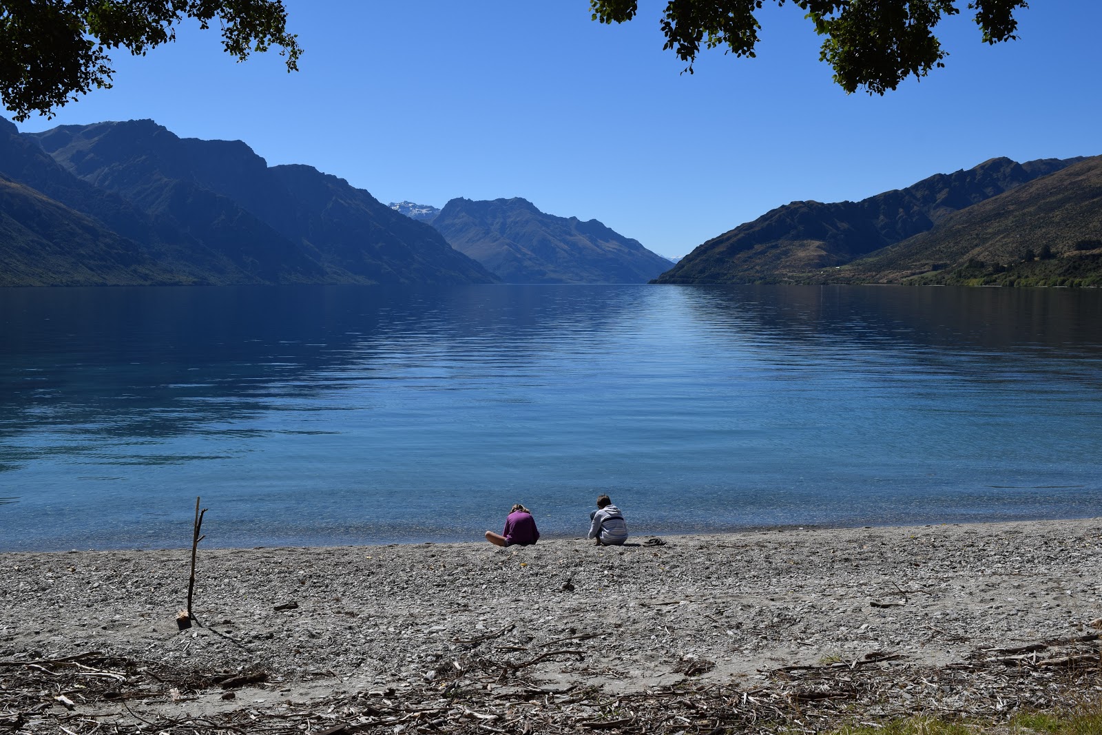
We camped at a free campsite outside of the town of Omarama, and early the next day we drove all the way to Milford Sound. We were able to get a spot for the camper at the Milford Sound Lodge, and spent the night there. This allowed us to take the first boat tour of Milford Sound the next morning, which dawned beautiful and clear. The first sunny day we’d had on the South Island! After spending the morning in Milford Sound, we drove back along the Milford Sound road and spent the night at a stunning spot next to Lake Wakatipu, just past Kingston, about 30 minutes from Queenstown.
 |
| On our way to Milford Sound: stunning views of Lake Wakatipu outside of Queenstown |
 |
| While waiting to go through the Homer Tunnel on the Milford Sound Road, this Kea was checking us out! The Kea is the world's only alpine parrot and can be found in the forested and alpine regions of New Zealand's South Island |
 |
| Milford Sound: You can see the scale of the mountains and waterfalls by looking at the size of the boats |
 |
| Yes, it was a little chilly! |
 |
| More Milford Sound |
 |
| We were so lucky with the weather: the sunshine shone on the snow-capped mountains |
 |
| Ben enjoying this incredible experience |
 |
| Back on land, looking back |
 |
| Crystal clear reflections |
 |
| A panoramic view |
 |
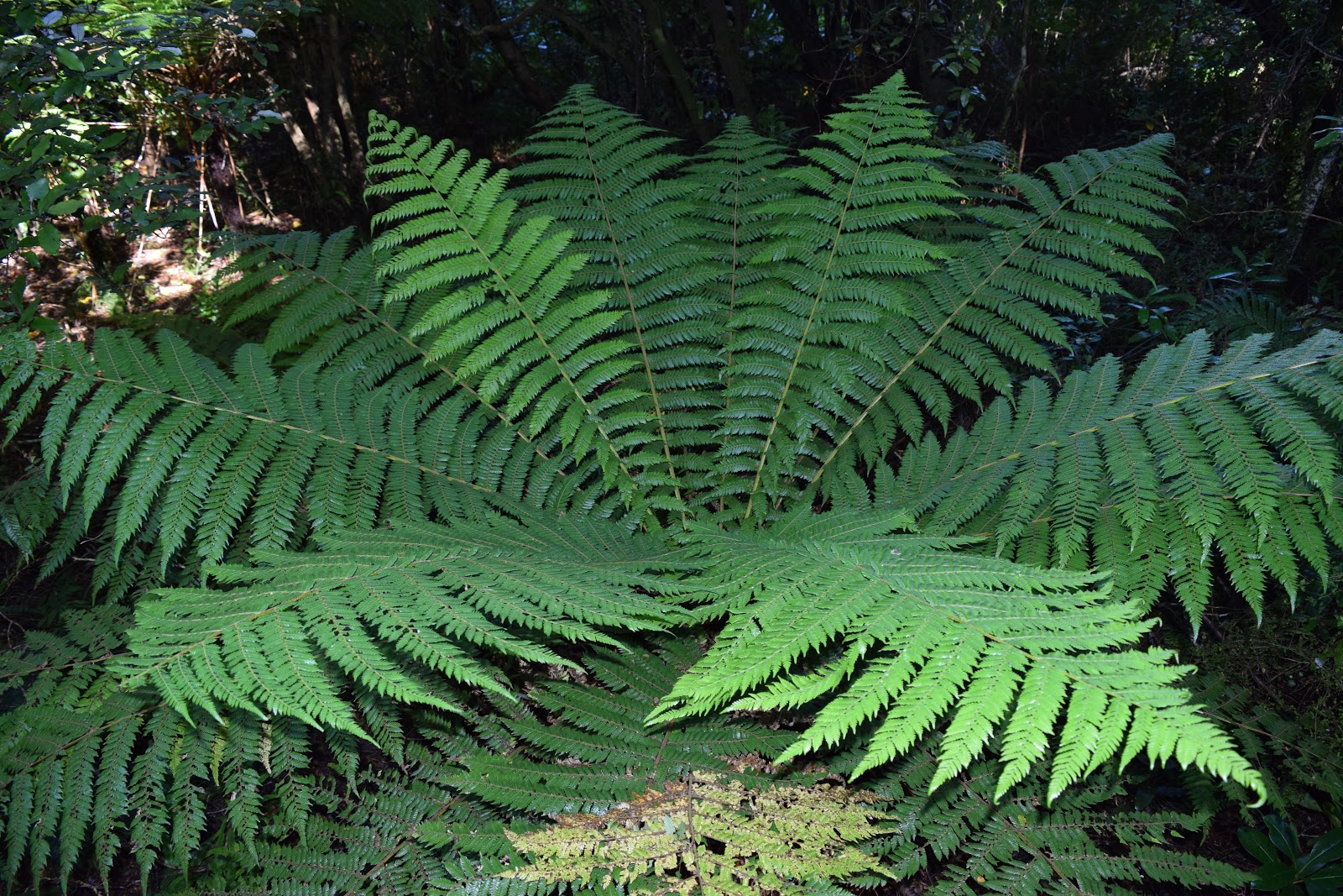
| The fern that is the national symbol of New Zealand |
 |
| Waiting to go back through the Homer Tunnel. The tunnel is a 1.2km (0.75 miles) long road tunnel linking Milford Sound to Te Anau and Queenstown |
 |
| At the other end of the tunnel |
 |
| The scene that greets you when you exit the tunnel |
 |
| We just couldn't get enough of this spectacular scenery |
 |
| Our campsite next to Lake Wakatipu. We ranked this as our most beautiful camping spot of our trip! |
 |
| The kids enjoyed playing at the lake's shore |
 |
| Dave teaches Ben how to skip stones |
 |
| The 2 crazies in our family go for a dip in the ice cold water!! |
 |
| Ben practicing skipping stones |
 |
| Crystal clear water |
 |
| Presenting the levitating Benjamin! |
We left the beautiful campsite and drove through Queenstown, and then on over the mountains through Arrowtown, past Cardrona and Wanaka. Then on through Mnt. Aspiring National Park to Haast. We were then on the coastal road which eventually led us inland again to Fox Glacier and Franz Josef Glacier, where we rested our weary heads for the night!
 |
| On a lookout point outside of Arrowtown |
 |
| A panoramic view of the lookout |
 |
| Spectacular Lake Hawea outside of Wanaka |
 |
| Mirror Lake |
 |
| We see the sea again! A beautiful, unusually calm Tasman Sea |
 |
| Bruce Bay: The most driftwood we have EVER seen on one beach! |
The next day (which happened to be my birthday!), we walked to as far as you could get to the terminal face of Franz Josef Glacier. It was about an hour and a half walk, following the path of the receding glacier.
 |
| Our first glimpse of the glacier |
 |
| Following the glacier's path |
 |
| Real time learning for our students! |
The following are a collection of Glacier pics:
 |
| The helicopter shows the size of the glacier |
 |
| Birthday girl! :) |
 |
| The path carved by the glacier is quite incredible |
 |
| One last view of the valley |
 |
| My birthday flowers!! |
After our walk up to, and back from the glacier, we continued on, driving along SH6, stopping at a small town called Hokitika, that I clearly remember from when Dave and I were here over 20 years ago! It was here that the kids finally saw a live Kiwi bird (in captivity), which had been on both their wish lists. After this stop, we carried on driving past Greymouth, now inland, in search of a campsite for the night. It was along this road that we stumbled upon the Brunner Mine Memorial. We wish he had had more time to explore this outdoor memorial commemorating the Brunner Mine disaster which happened on the 26 March 1896, when an explosion deep in the Brunner Mine killed all 65 miners below ground. The Brunner Mine disaster is the worst mining disaster in New Zealand’s history.
 |
| The beach at Hokitika |
 |
| Site
of the Brunner Mine memorial |
 |
| The old mine shafts are still visible |
 |
| The
Brunner bridge was built in 1876 and spans the Grey river |
 |
| We called this a Hobbit House (it was part of the old clay factory) |
 |
| The kids ride on an old coal truck |
The next day we drove up towards Picton, and found a spot to camp overnight, so we could drive into Picton to meet up with our friends on “Moby” the following day. It was wonderful to reconnect with Loic, Benedicte, Victor, Arthur and Anna again! They sailed “Moby” all the way to the Marlborough Sounds and, believe it or not, it was great to get on a boat again! We hope to meet up with Moby in Indonesia, and sail to South Africa together.
 |
| Our trusty camper |
 |
| Sunset at the campsite |
 |
| The vineyards of the Marlborough region |
 |
| Boat
kid reunite! With the kids from
“Moby”: Victor, Arthur and Anna |
 |
| With Benedicte |
 |
| Cool
Runnings and Moby together again! Gaby, Ben, Dave, Gudrun, Victor, Loic,
Arthur, Benedicte & Anna |
 |
| Sailing
back into Picton after a lovely afternoon at anchor in one of the sounds |
 |
| The
kids LOVE swinging on the harness on Moby |
 |
| The picturesque town of Picton |
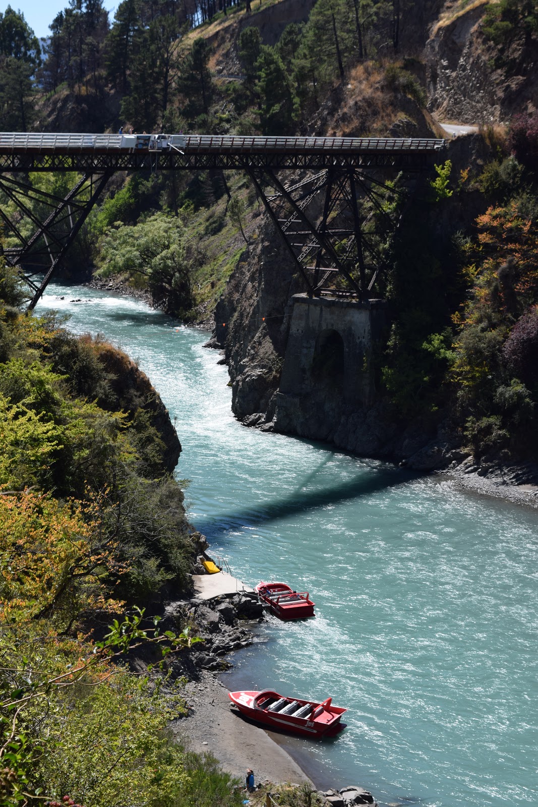
Our holiday was coming to an end, but we still had some important stuff to do! Dave planned a fun, action-packed day in Hanmer Springs, where we got to go rafting, go on a jet boat, and have a family paintball game!
 |
| This sign welcomed us |
 |
| The river we rafted down |
 |
| All geared up and ready to go rafting! |
 |
| In the raft with our fellow rafters |
 |
| And off we go! |
 |
| After we'd rafted down the river, we got a ride back in a jetboat! |
 |
| It was a LOT of fun!! |
 |
| Walking to our game of paintball: sheep - what's a post on New Zealand without a picture of sheep?! |
 |
| Ben, Mom and Gaby....ready for battle |
 |
| After the battle: Dave and Ben. (notice the green paint splashed on Dave's helmet...!!!) |
 |
| Ahhh...that's better! |
 |
| This incredibly lucky family had a LOT of fun!! |
We had a fantastic holiday in New Zealand. While it was a lot more expensive, crowded, and touristy than Dave and I remembered from our previous trip/s there, the spectacular scenery is unchanged, and a treat to be able to enjoy!
 |
| Goodbye New Zealand...thanks for a great time! |


No comments:
Post a Comment